
Icy Hudson River
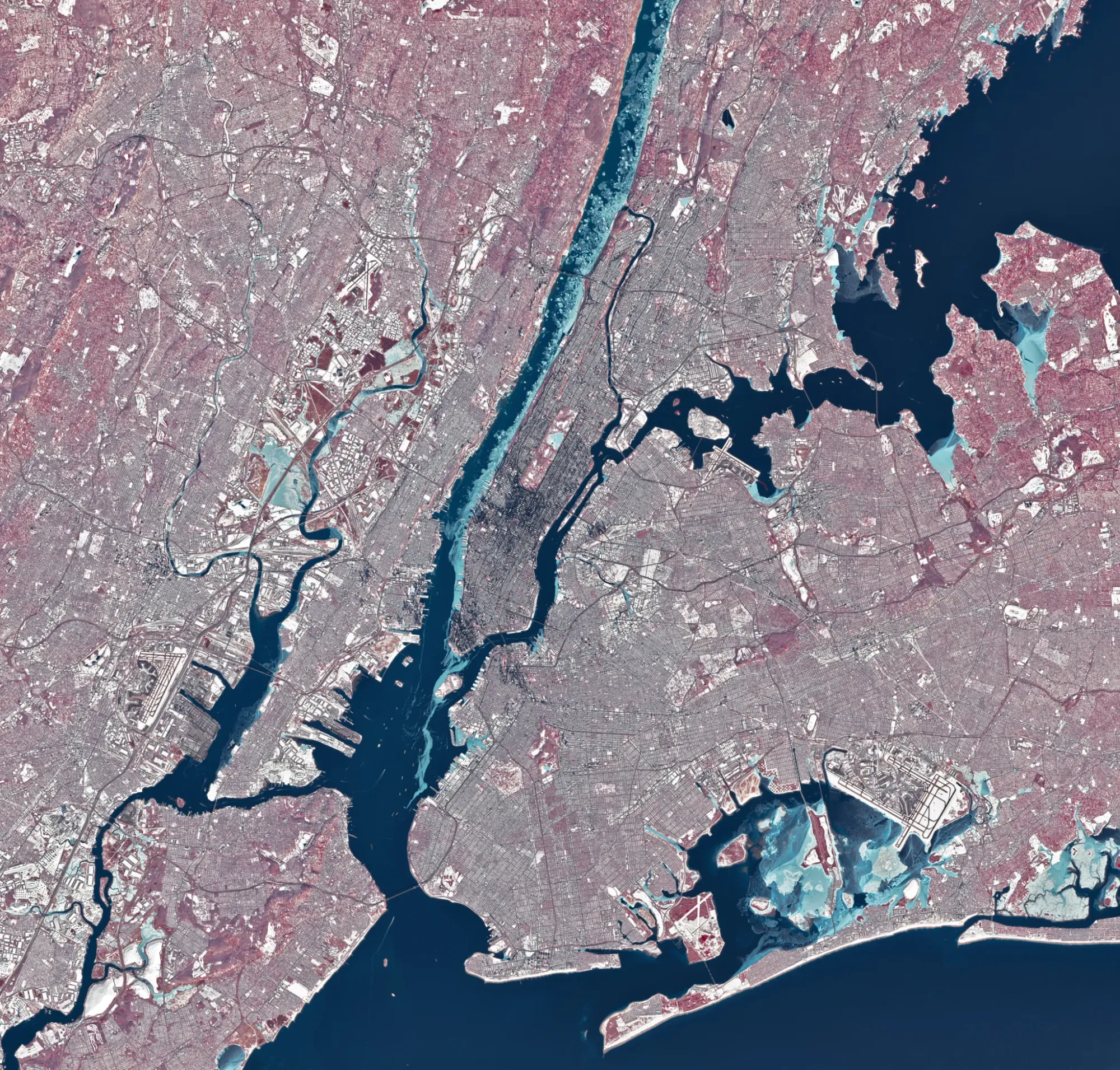
During a stretch of frigid weather in late January 2026, ice choked the Hudson River along Manhattan’s western shore. The OLI (Operational Land Imager) on Landsat 8 captured the scene around midday on Jan. 28.
The image uses representational color to set ice apart as light blue, with open water and snow shown in other tones. Vegetation appears red.
Much of the ice likely floated downstream from farther upriver, where tidal currents are weaker and salinity is lower. Those conditions let water freeze sooner and at higher temperatures than the faster-flowing, brackish water near the river’s mouth shown here.
Scientists monitor these patterns to study the effects of river ice and to track changes in waterways.
United States, Manhattan
hudson river, manhattan, landsat 8, oli, river ice, tidal currents, brackish water, salinity, satellite imagery, remote sensing