
Lake Coatepeque
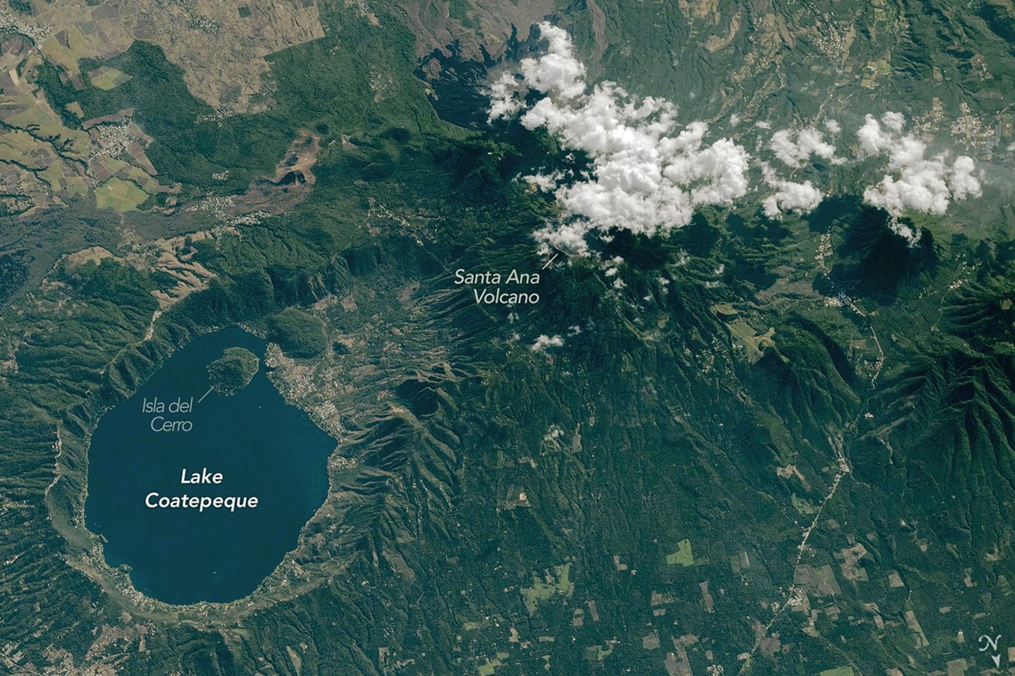
Just inland from El Salvador’s Pacific coast, the blue waters of Lake Coatepeque fill part of a caldera of the same name. An astronaut aboard the International Space Station photographed the lake and its surroundings on February 10, 2026, as the station passed over Central America.
The caldera formed during a series of explosive eruptions between 72,000 and 51,000 years ago. Later eruptions built several lava domes along the western side, including Isla del Cerro (Isla Teopán). The Smithsonian Institution’s Global Volcanism Program records no reported eruptions from the caldera during the Holocene.
Homes, restaurants, boathouses, and other structures line the lakeshore and extend westward toward the caldera’s steep rim, which abuts the eastern flank of Santa Ana, El Salvador’s tallest volcano. Santa Ana remains active, with small to moderate explosive eruptions recorded since the 16th century and a most recent severe eruption in 2005.
El Salvador, Santa Ana
lake coatepeque, caldera, el salvador, iss, santa ana, isla teopán, lava domes, explosive eruptions, holocene, 2005 eruption