
Bushfire east of Mount Compass burns more than 650 hectares; residents warned
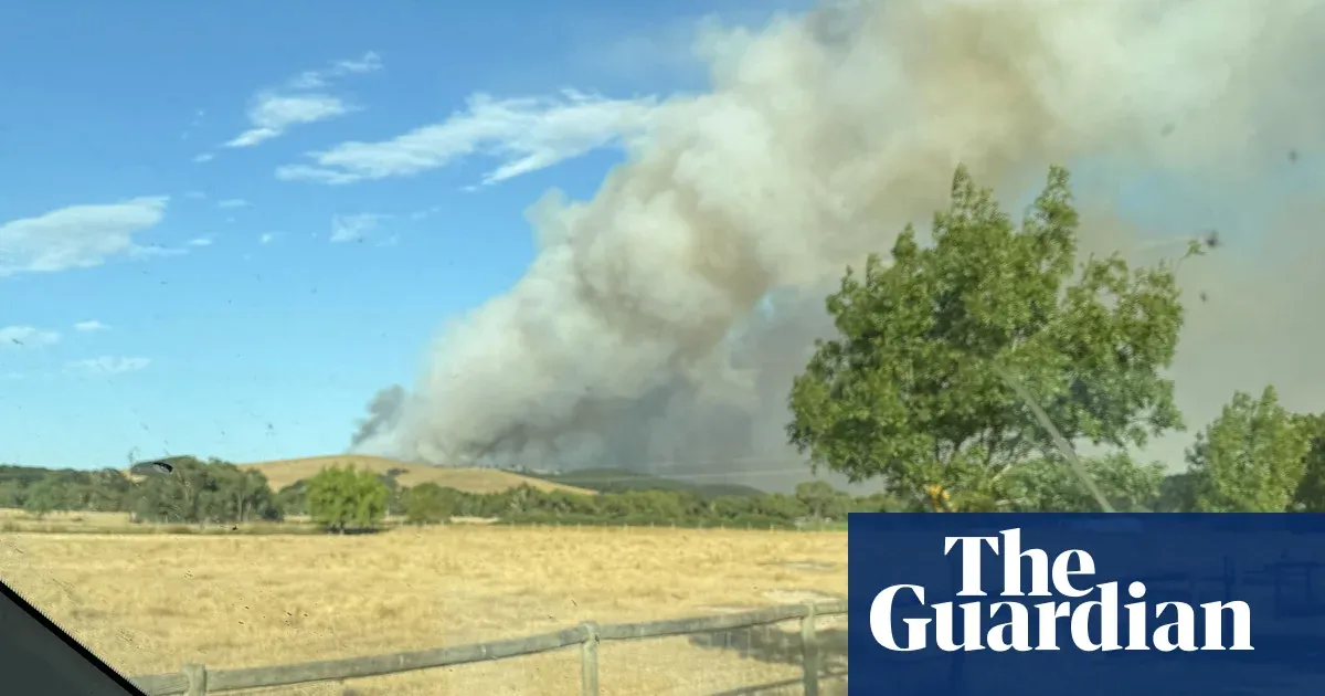
A bushfire east of Mount Compass on the Fleurieu Peninsula, south of Adelaide, has burned more than 650 hectares, damaged structures and prompted evacuation warnings for nearby communities.
The fire broke out about 4.30pm on Sunday and has impacted at least three structures, with a family of five reportedly losing their home. More than 120 firefighters, including volunteers, supported by about 60 vehicles and water bombers, have been working at Tooperang.
The SA Country Fire Service said the fire was burning in grass and scrub and remained uncontrolled, with crews working in inaccessible terrain and continuing through the day to try to extinguish it ahead of a wind change forecast around lunchtime. A watch and act alert issued on Monday covered areas including Tooperang, Nangkita, Mount Jagged and Mosquito Hill, urging people to prepare to leave.
Residents described seeing flames and smelling smoke as they evacuated. Road closures are in place but no injuries have been reported. The Bureau of Meteorology said most of Australia could expect a settled weather pattern on Tuesday, while hotter-than-average days and nights were expected to continue for much of the country until April, and sea surface temperatures would remain warmer than average.
Key Topics
World, Mount Compass Fire, Fleurieu Peninsula, Tooperang, Nangkita, Sa Cfs