
Helicopter Radar Scans of Thwaites Glacier Aim to Inform Europa Studies
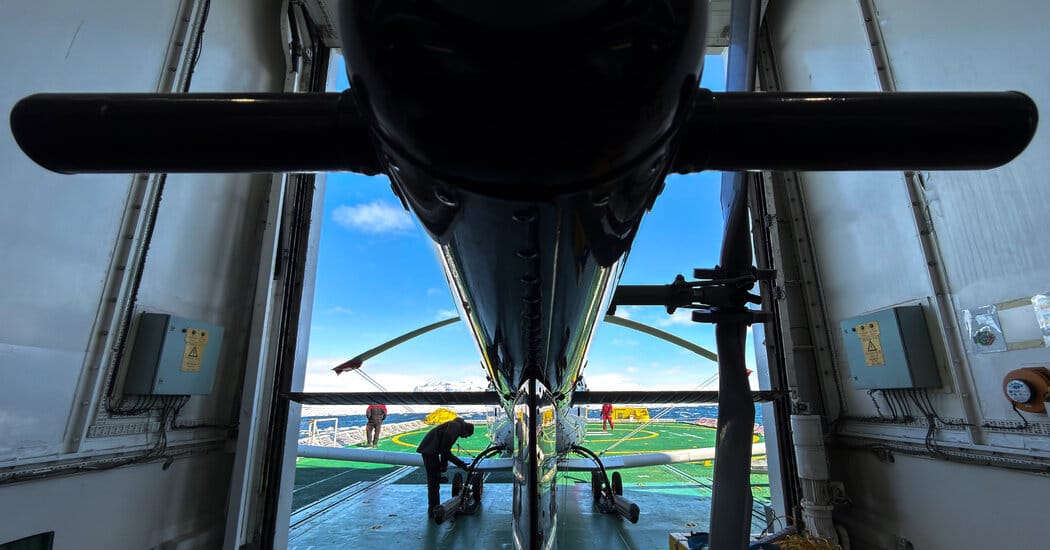
Scientists aboard the icebreaker Araon flew a radar-equipped helicopter over Antarctica’s Thwaites Glacier to image crevasses and the glacier’s internal structure, a campaign that researchers say can also help interpret future radar scans of Jupiter’s icy moon Europa. For more than six hours on Friday the chopper carried three long radar antennas while crews battled strong winds to collect soundings; the team flew a total of 310 miles over Thwaites, reaching farther up the glacier by helicopter than in previous efforts.
The radar must be flown at an even speed and altitude — about 60 knots (69 miles per hour) and 1,640 feet (500 meters) — to produce the clearest images, researchers said as they processed the data into black-and-white slices showing layers, rifts and parabolic signatures of crevasses.
The images showed tree-ring-like layers that generally follow bedrock contours but also areas where layers are out of sync, which Dr. Chris Pierce said could indicate melting at the glacier’s base from geothermal heat. Meltwater beneath the ice can gather in channels and lakes, lubricating the bed and creating plumes that affect how floating ice melts; as Thwaites moves onto the ocean it fractures and underside melting can deepen those cracks.