
Why phone weather apps showed differing New York snowfall forecasts
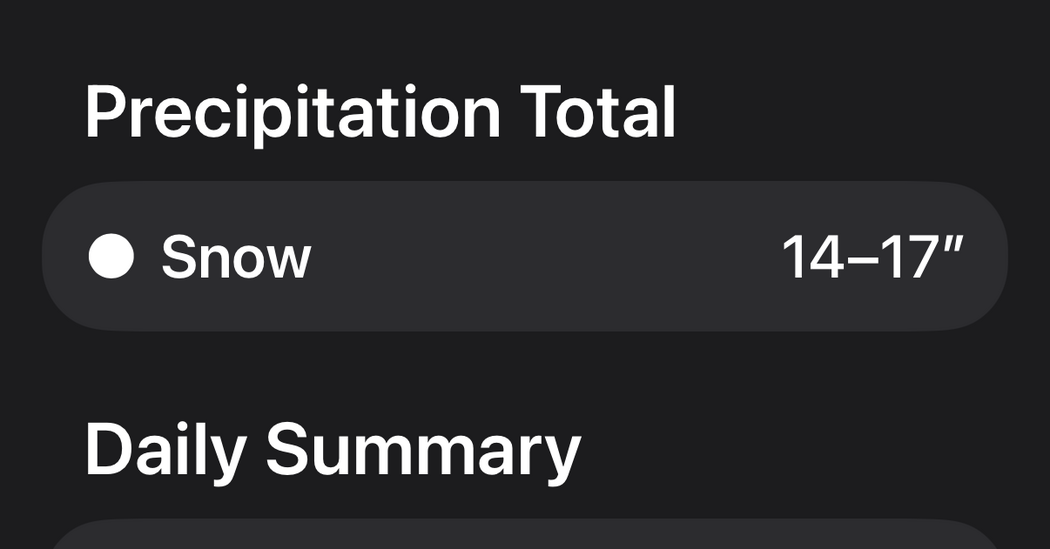
Cellphone weather apps began warning users that a sprawling storm system could drop a foot or more of snow on New York City this weekend. At one point Apple’s weather app showed up to 17 inches of snow for Sunday and by Thursday evening had reduced that to eight to 10 inches. Meteorologists at the National Weather Service balance multiple computer models, ensembles of simulations and their own experience when making forecasts, and local television meteorologists may add their own expertise.
Many consumer weather apps, by contrast, display the output of a single forecast model and often present raw data without the wider context of other possible outcomes. Early in the week the American (GFS) and European (ECMWF) global models pictured very different scenarios — the American model tracking a stronger, more southerly storm while the European model took a more northerly, less intense route.
The models began to converge after the American model shifted north on Wednesday, and for the first time forecasters broadly agreed on the storm’s initial stages for Friday and Saturday, which brought the possibility of half a foot or more of snow into the conversation. As of Thursday afternoon the models remained largely in sync, but eventual snowfall totals for Sunday into Monday still depend on subtle shifts in the storm’s path that are unlikely to be clear until the storm arrives.
Key Topics
Science, Apple Weather, New York City, National Weather Service, Gfs, Ecmwf